Recommendations for creating maps
-
Stay behind the robot when creating/updating a map
-
Drive close to the walls / reflective surfaces to improve the data quality
-
Drive in a straight line as much as possible
-
Drive slowly so the map is filled in completely after one or two pass(es)
-
Turn the robot a full 360 degrees (while staying behind the robot) at regular intervals
-
Create virtual walls to contain the robot and/or to create safety-zones where the robot really shouldn’t go
Limitations of the Lidar system
The following limitations apply to the used lidar system and subsequent mapping process:
Map
-
Sight distance (or object-detection) of 16m
-
Maximum length and/or width for a map is 100m (theoretical area = 10000m²)
-
Highly recommended surface area for the map is 1000 m²
-
Detection of the LiDAR at 12 cm height above the floor
-
Passageways must be at least 95 cm wide
Material restrictions
The following limitations apply to the detected material
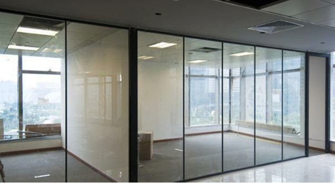
The LiDAR signal is ineffective against glass, stainless steel and pure black materials.
For glass walls, 6cm wide opaque materials should be attached, centering at a height of 12cm.
The RGBD sensor is ineffective against black light-absorbing materials and glass.
The ultrasonic sensor is ineffective wave-absorbing materials (e.g. acoustic absorbing or foam materials).
The ground IR is ineffective against complex surfaces (e.g. checkered surface in black/white or stainless steel)
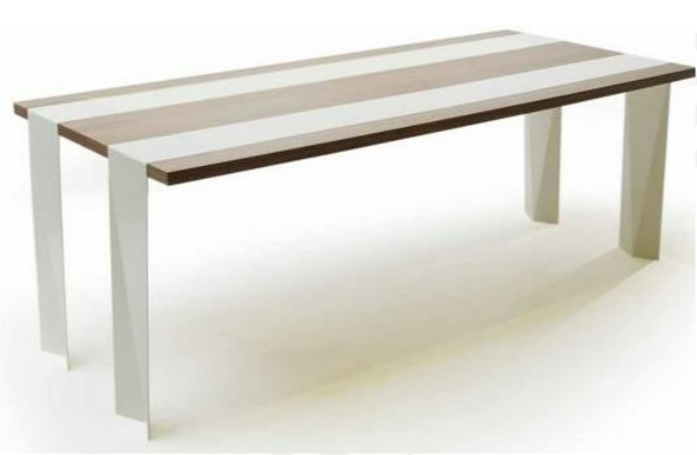
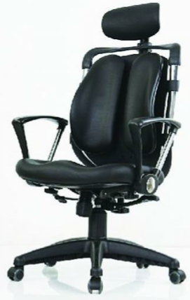
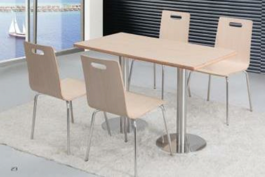
Examples
The following examples could cause problems for being detected
-
Glass wall
-
Borderless table
-
Desk Chairs
-
Table and chairs with stainless steel legs
-
Stainless steel and black-and-white surfaces
-
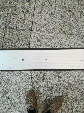
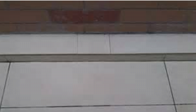
Steps/objects lower than 12 cm
-
Passageways that are too small

Cruzr will stop at the entrance of the passageway or Cruzr will get stuck partway in the passageway. The passageway must be at least 0.95m to allow Cruzr to pass through safely.